A City of Neighborhoods Exhibition
- Credits
-
Bud Rodecker
Design Direction, DesignAlec Hudson
Design
- Also
Chicago Architecture Center:
Eve Fineman, Adam Rubin, Sarah Ingraham
Curatorial TeamScott Reinhard
Map DesignArlan DeRussy
Fabrication and InstallationColorphonic
Lamin-8
Printing
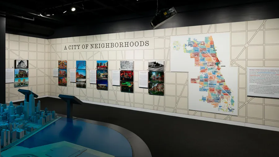
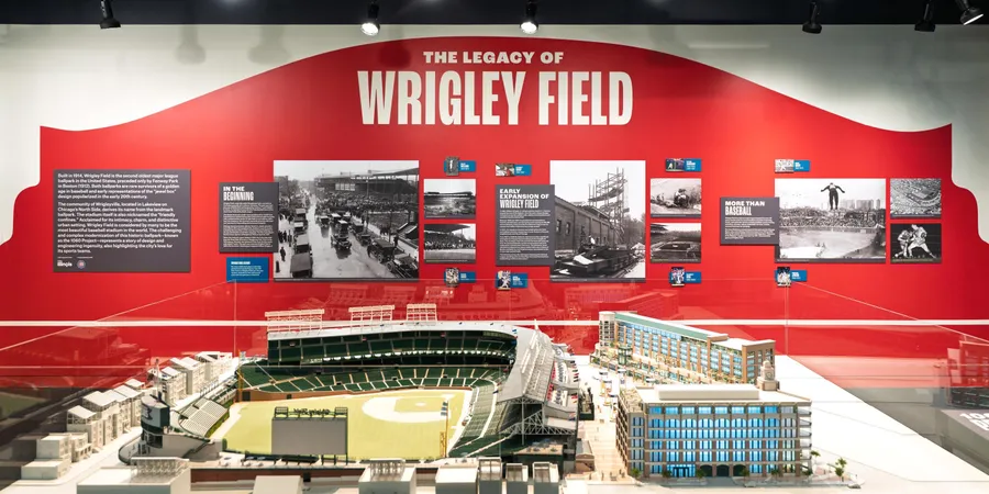
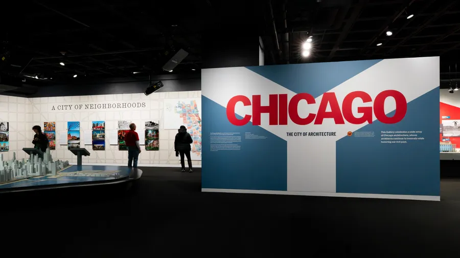
For an update to the Chicago Gallery at the Chicago Architecture Center, we developed an exhibition that explores Chicago through the neighborhoods that define it. Rather than relying on political boundaries or street grids, the exhibition looks at the architecture, culture, and history embedded within the city’s built fabric.
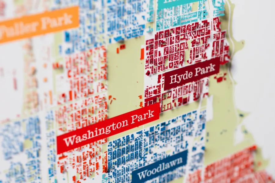
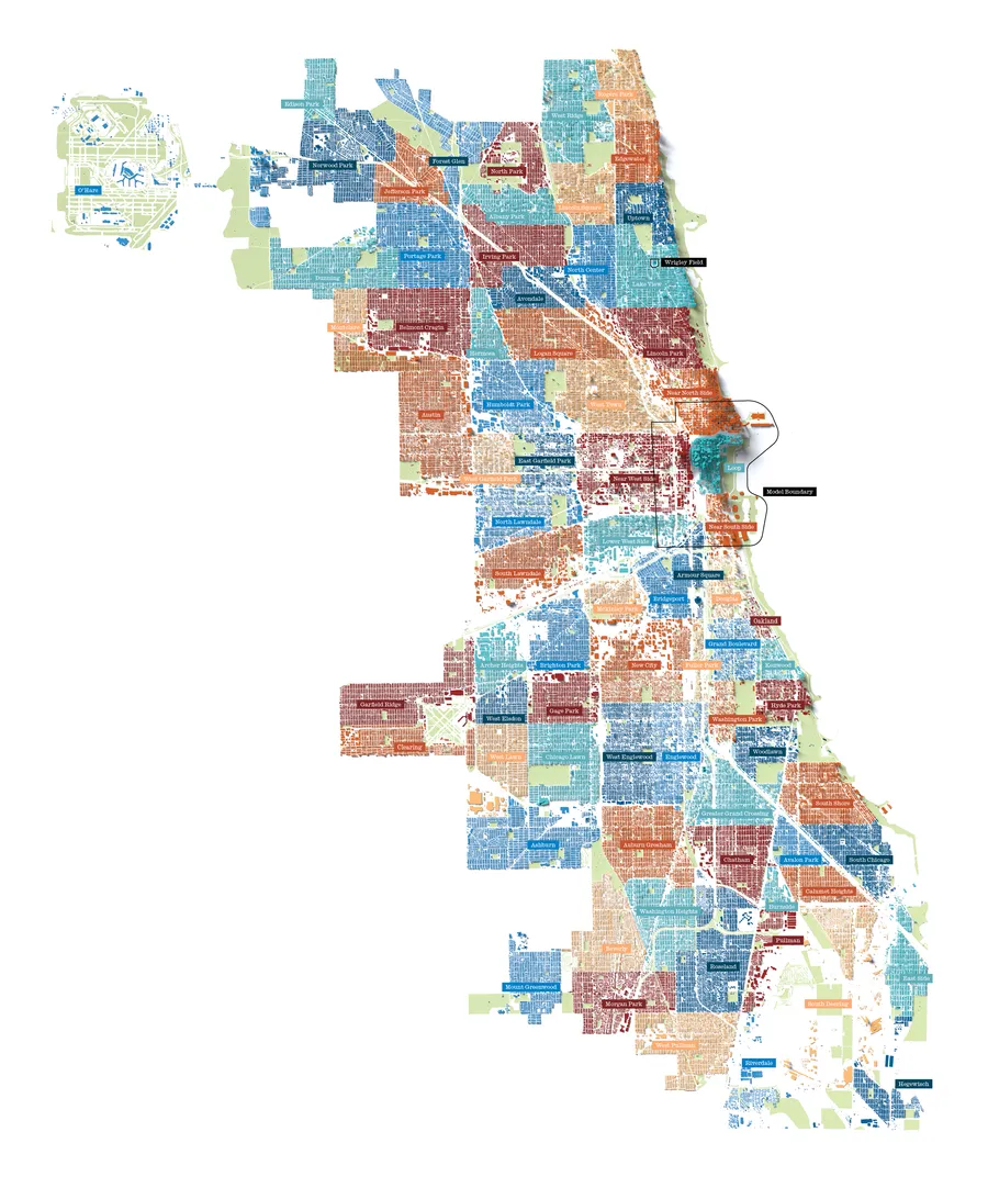
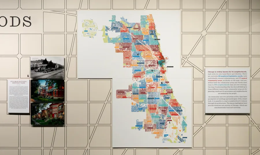
At the center of the experience is an oversized neighborhood map created in collaboration with illustrator Scott Reinhard. Rendered as a three-dimensional cityscape, the map identifies neighborhoods through the buildings that compose them, revealing Chicago as a collection of distinct places rather than a single urban whole.
From the map, visitors are introduced to six neighborhoods through six iconic buildings that serve as entry points into broader stories of community, identity, and change. Each building is presented with a concise narrative and a curated set of images that provide historical and cultural context. Together, these stories create a portrait of Chicago as a city of neighborhoods, each with its own character while contributing to the larger civic identity.
The exhibition wall is organized on a rigorous grid inspired by the visionary planning principles of Daniel Burnham and his Plan of Chicago. The system provides a framework for organizing diverse stories while echoing Burnham’s enduring call to “make no little plans.”
The title wall takes its cue from the Chicago Municipal Device, one of the city's hidden-in-plain-sight symbols. While few residents know it by name, the encircled “Y” can be found throughout Chicago on bridges, buildings, vehicles, and pieces of civic infrastructure. Designed by architect Alfred J. Ravad in 1892 and later adopted into city code, the mark traces the three-way split of the Chicago River at Wolf Point. Enlarged and reinterpreted as the exhibition's graphic anchor, it introduces a story about how geography, infrastructure, and architecture have shaped Chicago's neighborhoods.
Through mapping, storytelling, and architecture, the exhibition invites visitors to see Chicago not as a collection of boundaries, but as a living network of places, people, and buildings.
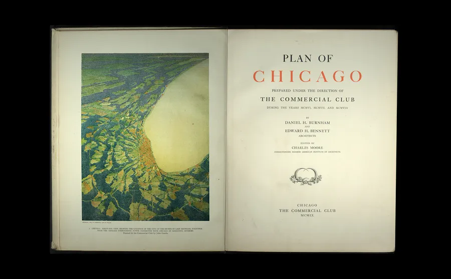
Title page, Plan of Chicago by Daniel H. Burnham and Edward H. Bennett, 1909. Published by the Commercial Club of Chicago. Public domain; via Wikimedia Commons.
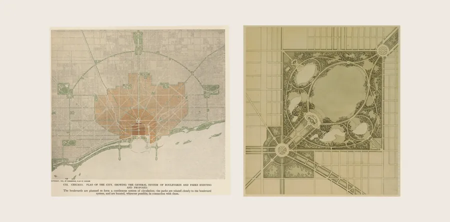
Left
Jules Guérin, rendering from the Plan of Chicago by Daniel H. Burnham and Edward H. Bennett, 1909. Commercial Club of Chicago. Public domain; via Wikimedia Commons.
Right
Daniel Hudson Burnham. Plan of Chicago, Plate 62, Plan of a Proposed Park, 1909. Ink and wash on paper. The Art Institute of Chicago. On permanent loan to The Art Institute of Chicago from the City of Chicago, 5.148.1966. CC0 / Public domain.